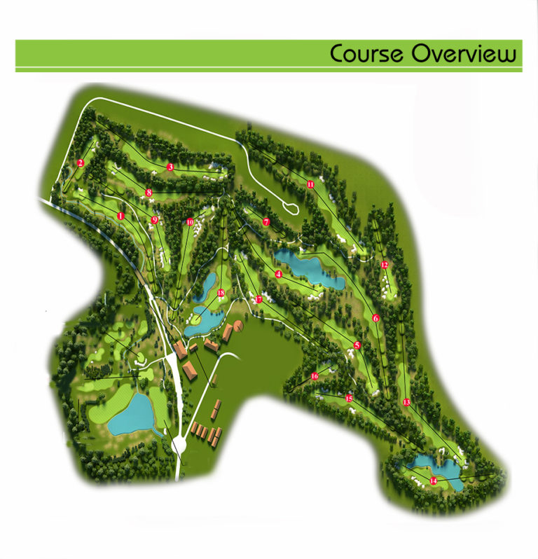
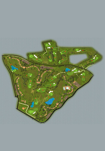
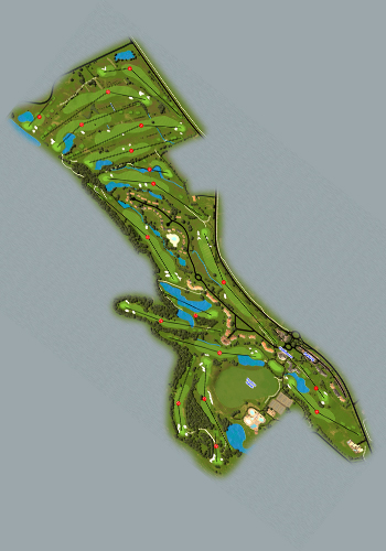
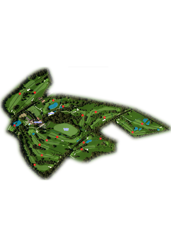
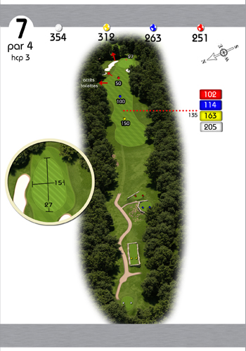
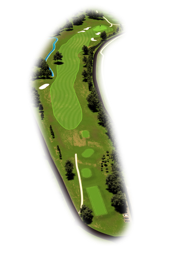
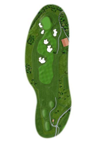
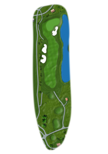
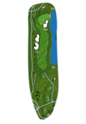
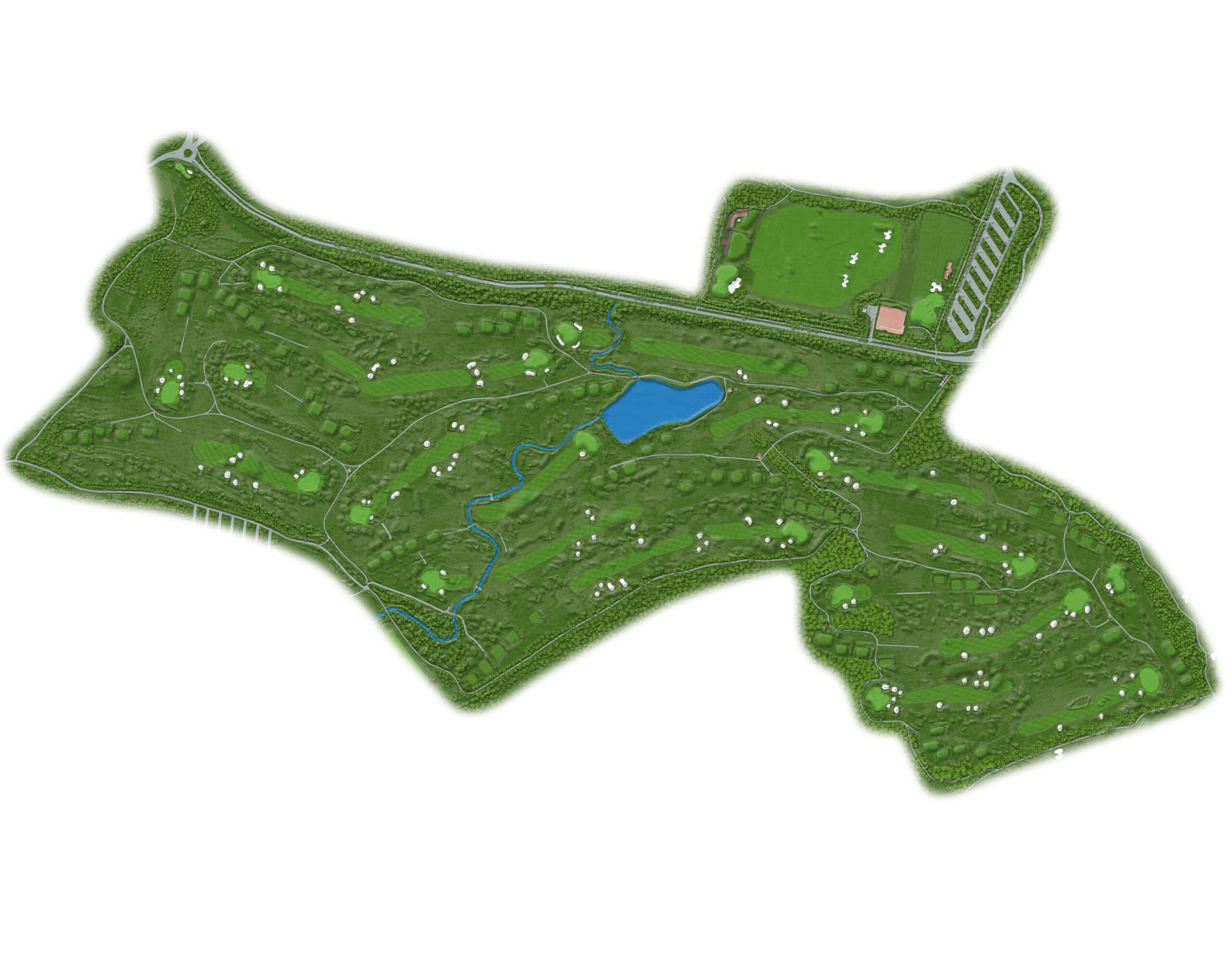
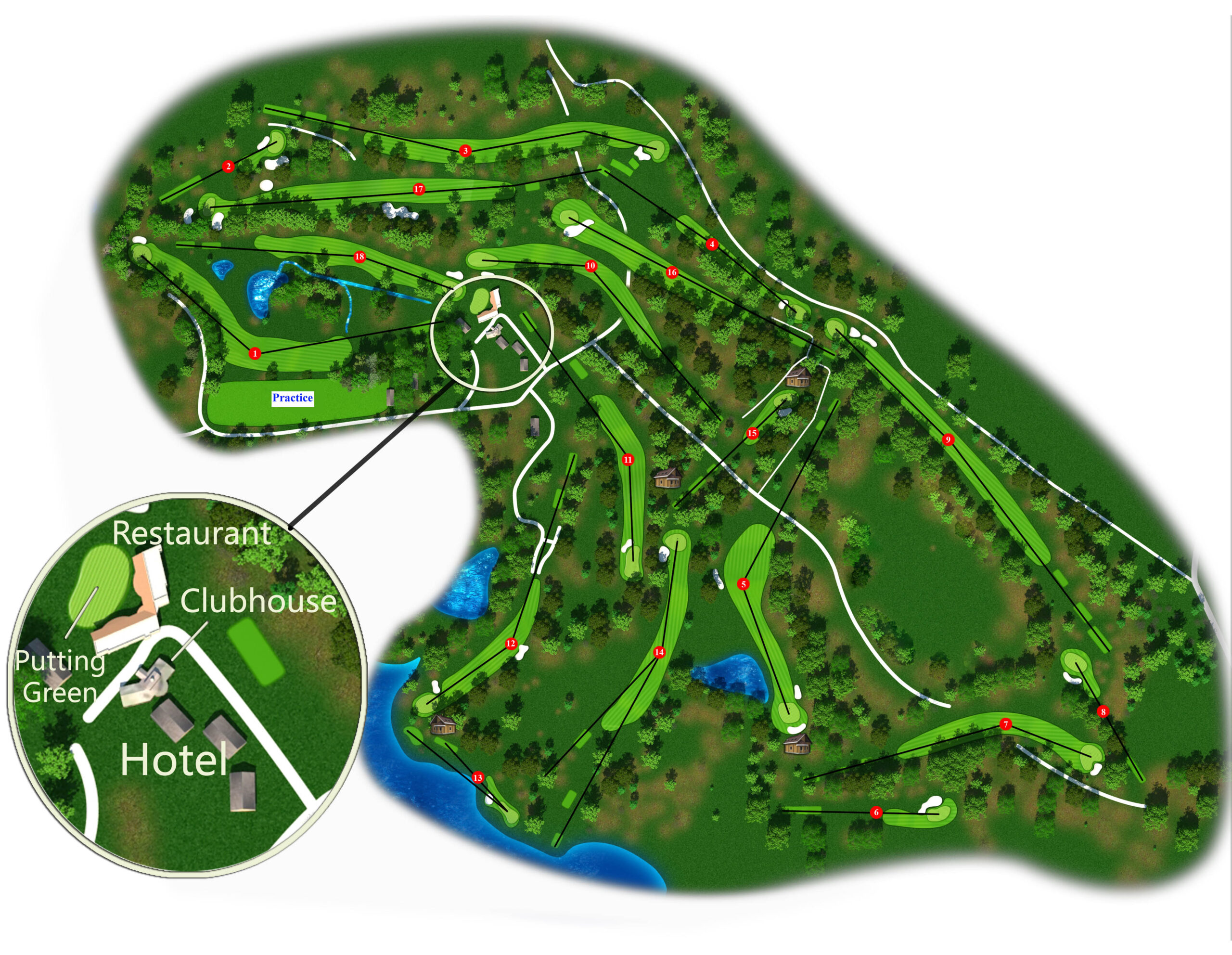
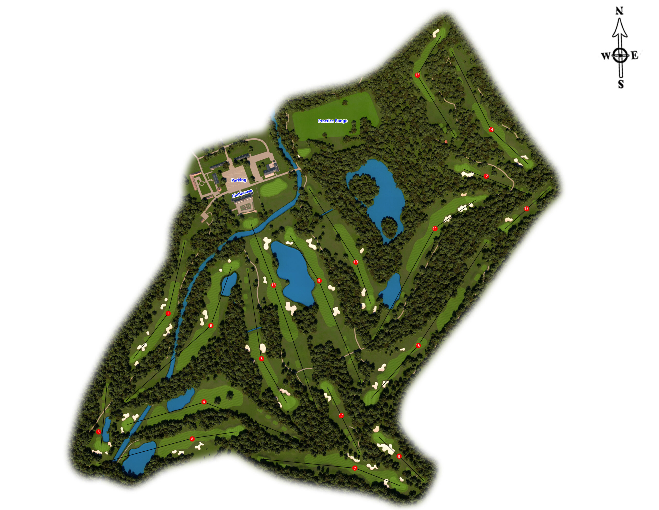
3D Mapping is a most emerging technology to get the realistic view of the Golf Courses. These maps allow the golfers to know the each and every cutting edges of the grass and grain of sands on the course, so that the players are confident and prepare for the great play on the ground.
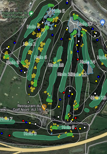
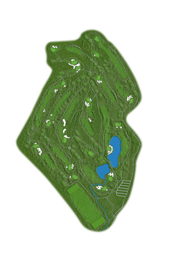
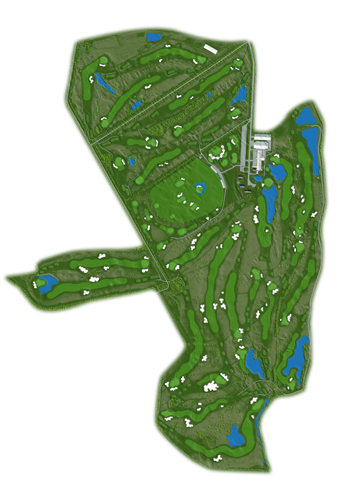
18Fairways utilizes 3D/2D Designing and GIS Software along with the latest techniques in creating the terrains and rendering processes to get the realistic view of Golf Course maps. Also provides complete Vectorial Presentation of the courses which includes all the important features Greens, Bunkers, Fairways, Water Bodies, Water Streams, Tees, Vegetation etc.